Odd Discoveries
The Mountain That Never Was: How a Cartographer's Mistake Became Official U.S. Geography
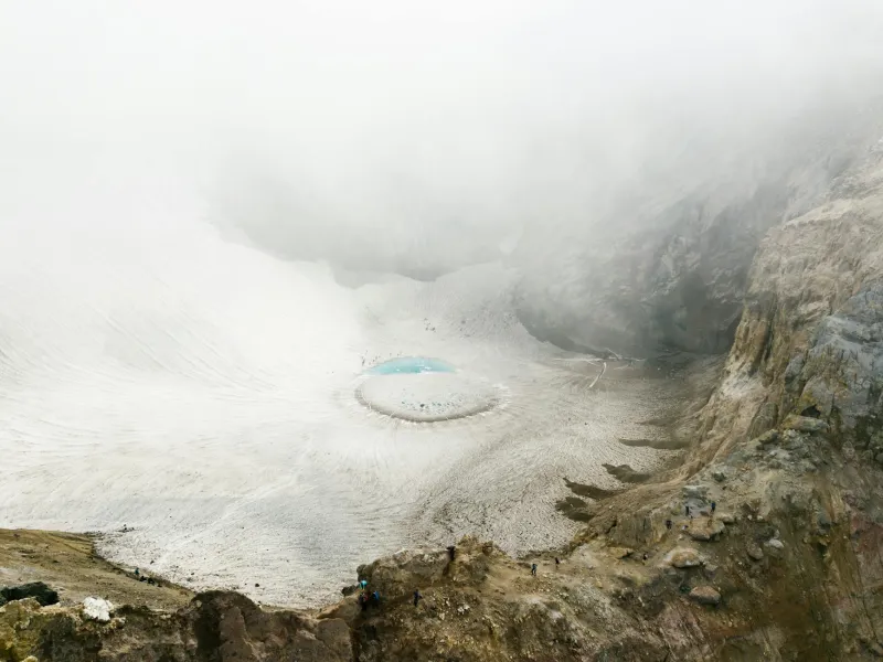
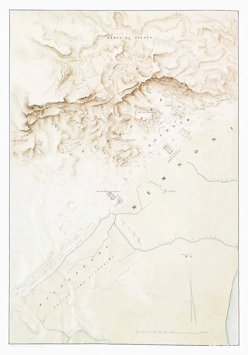
For decades, a mountain that didn't exist appeared on official U.S. government maps, earned its own name, and even showed up in regional tourism brochures. The peak was the product of a single drafting error that somehow survived every round of federal review — until a curious hiker finally went looking for it and found absolutely nothing.